This is the first gallery of five from my trip to the Saline Valley in Death Valley National Park. It covers getting there and camping and getting back. The others will have plants, canyons, mining (and other) stuff, and the valley landscapes.


‹
›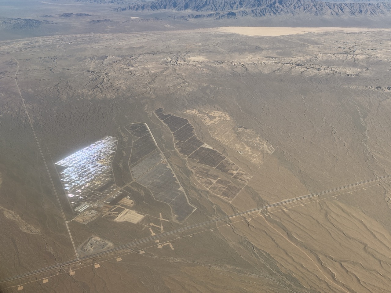
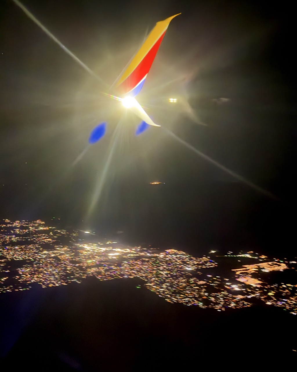
Pretty sure that’s the road from Las Vegas to Pahrump, which we’ll be driving on shortly.
2 / 22 view full size ↗ close
‹
›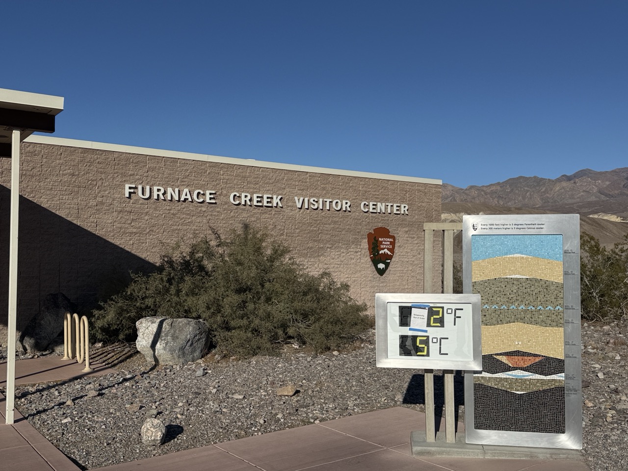
The famous DVNP thermometer was not working today. Good thing it was only 80 F in November.
3 / 22 view full size ↗ close
‹
›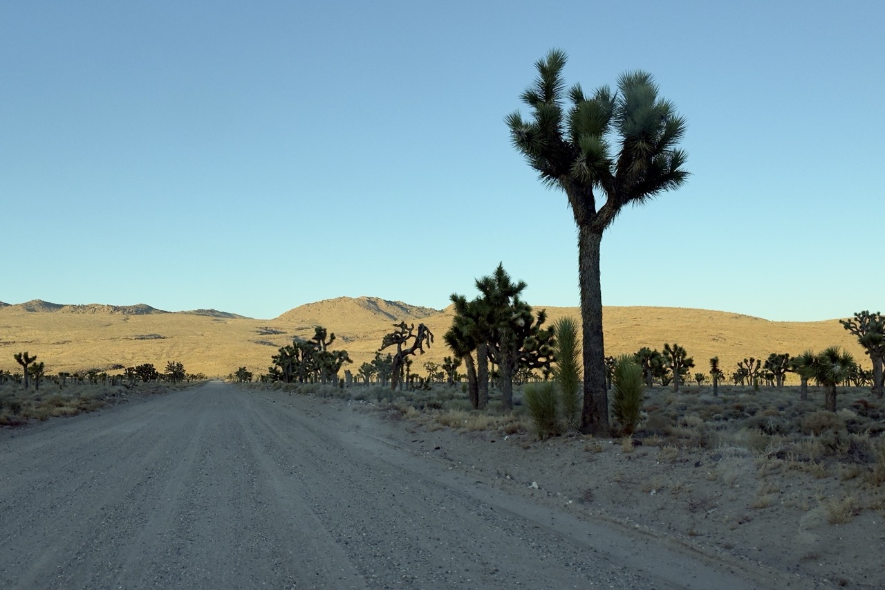
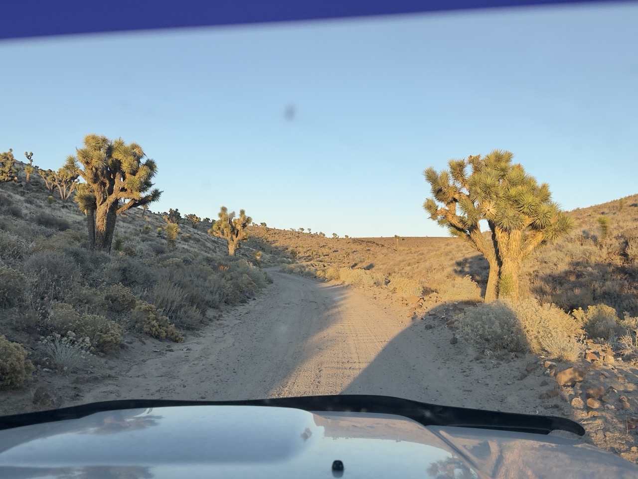
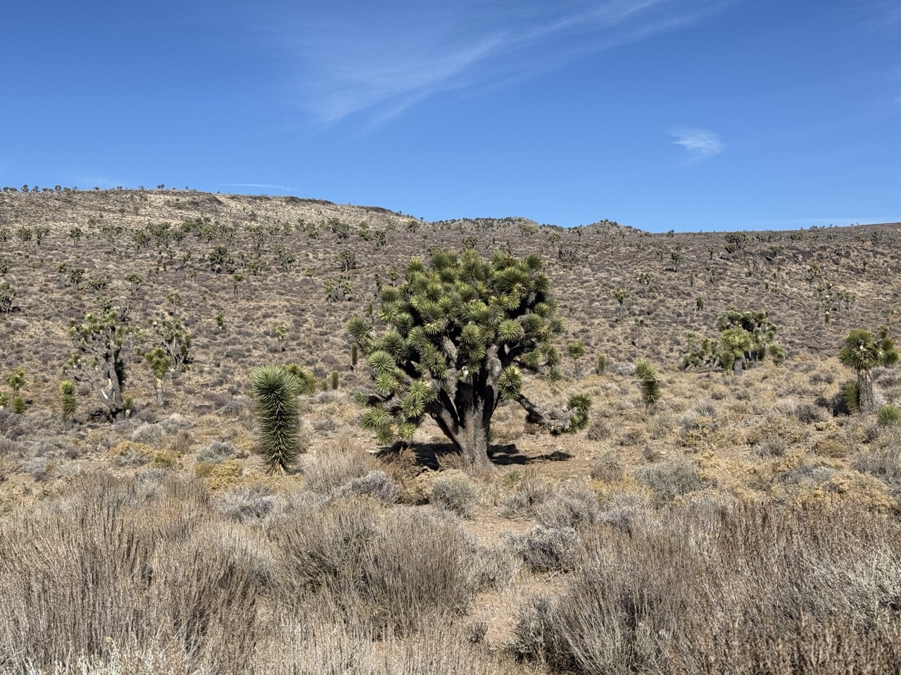
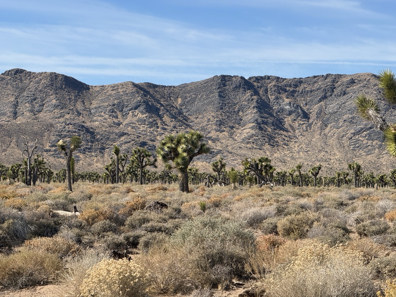
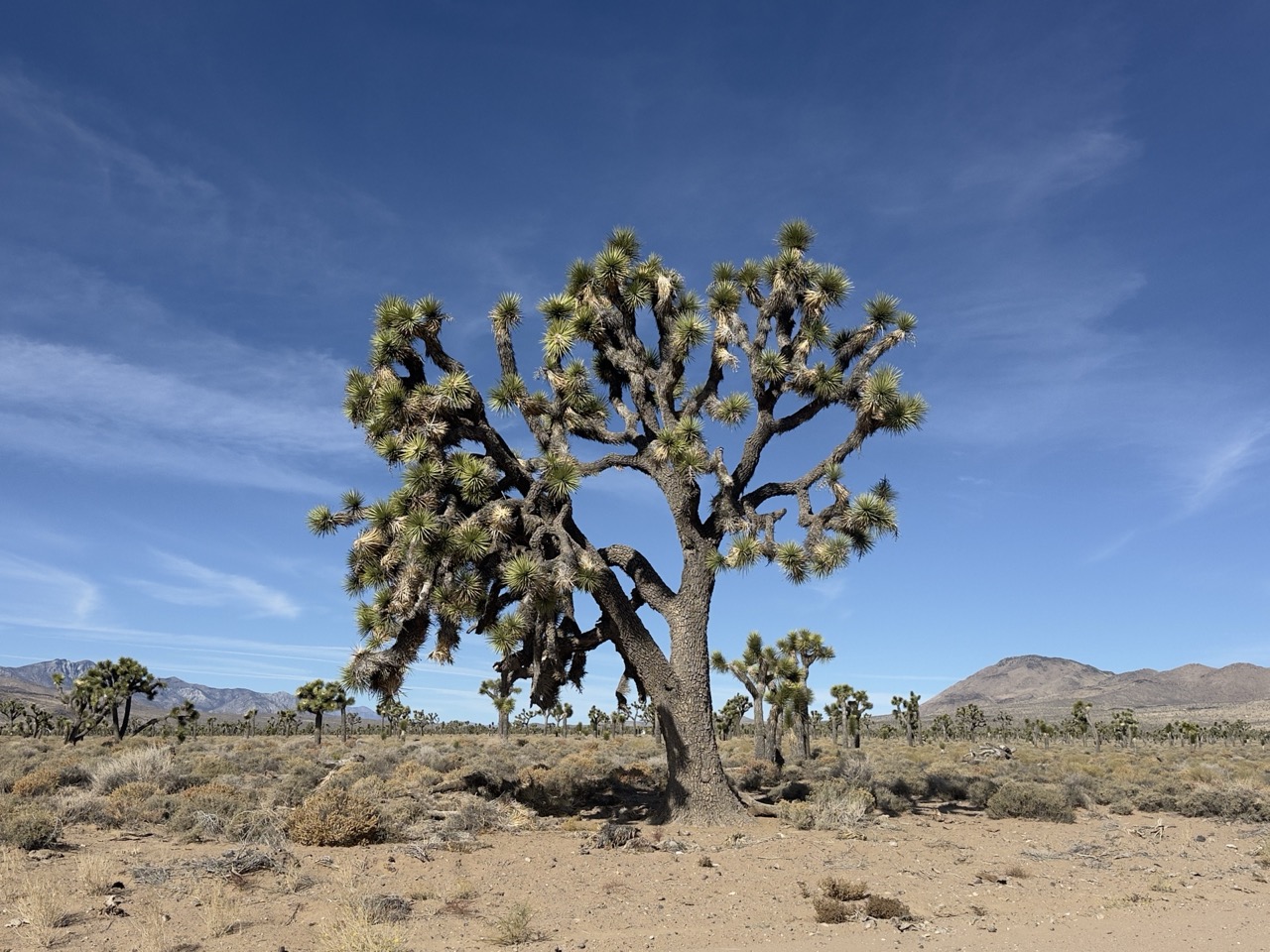
Joshua tree forest, looking very happy and healthy, along Saline Valley road.
9 / 22 view full size ↗ close
‹
›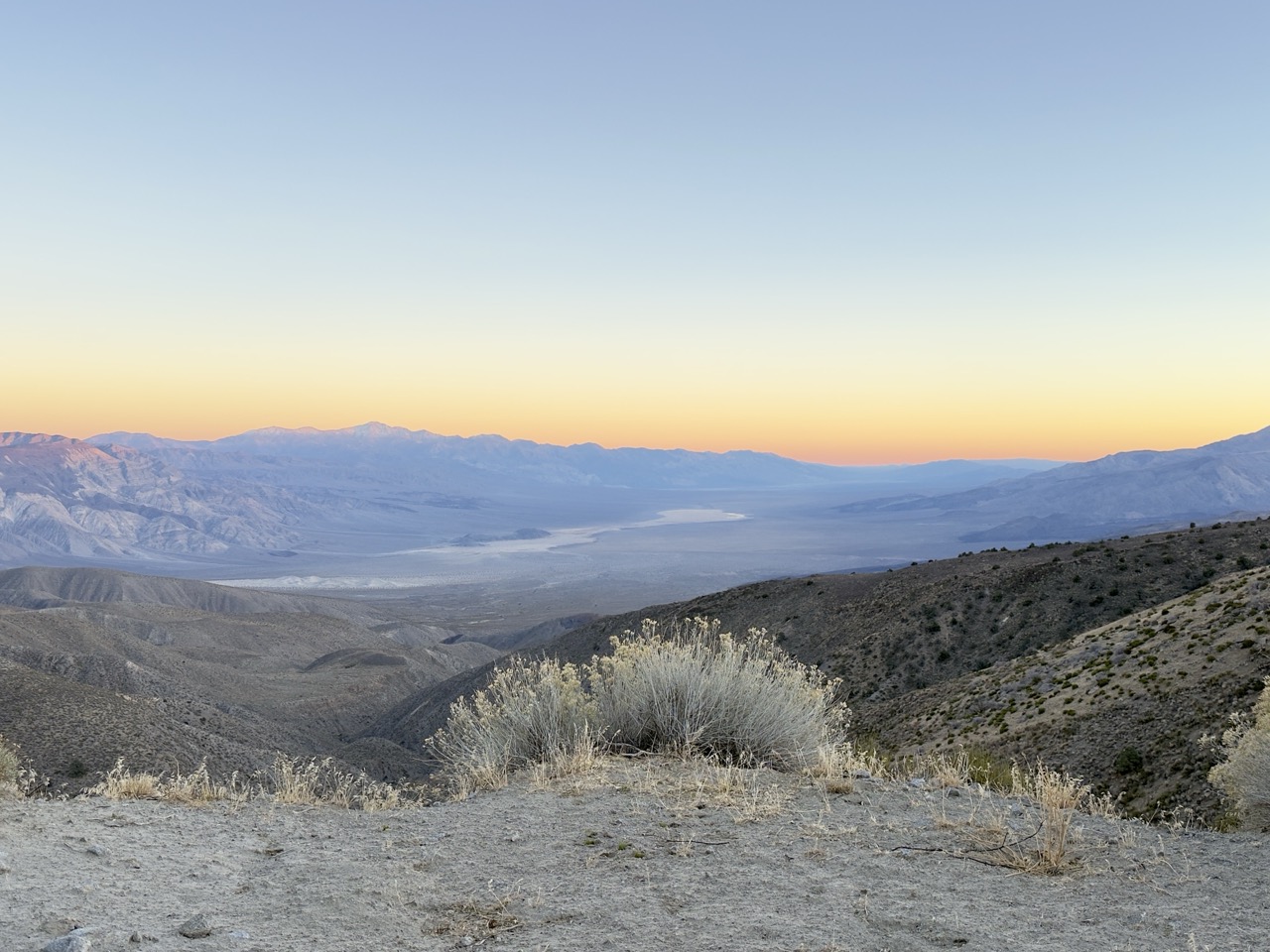
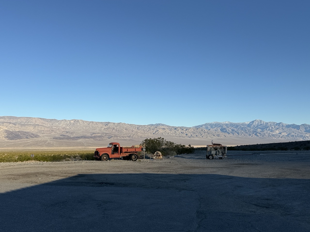
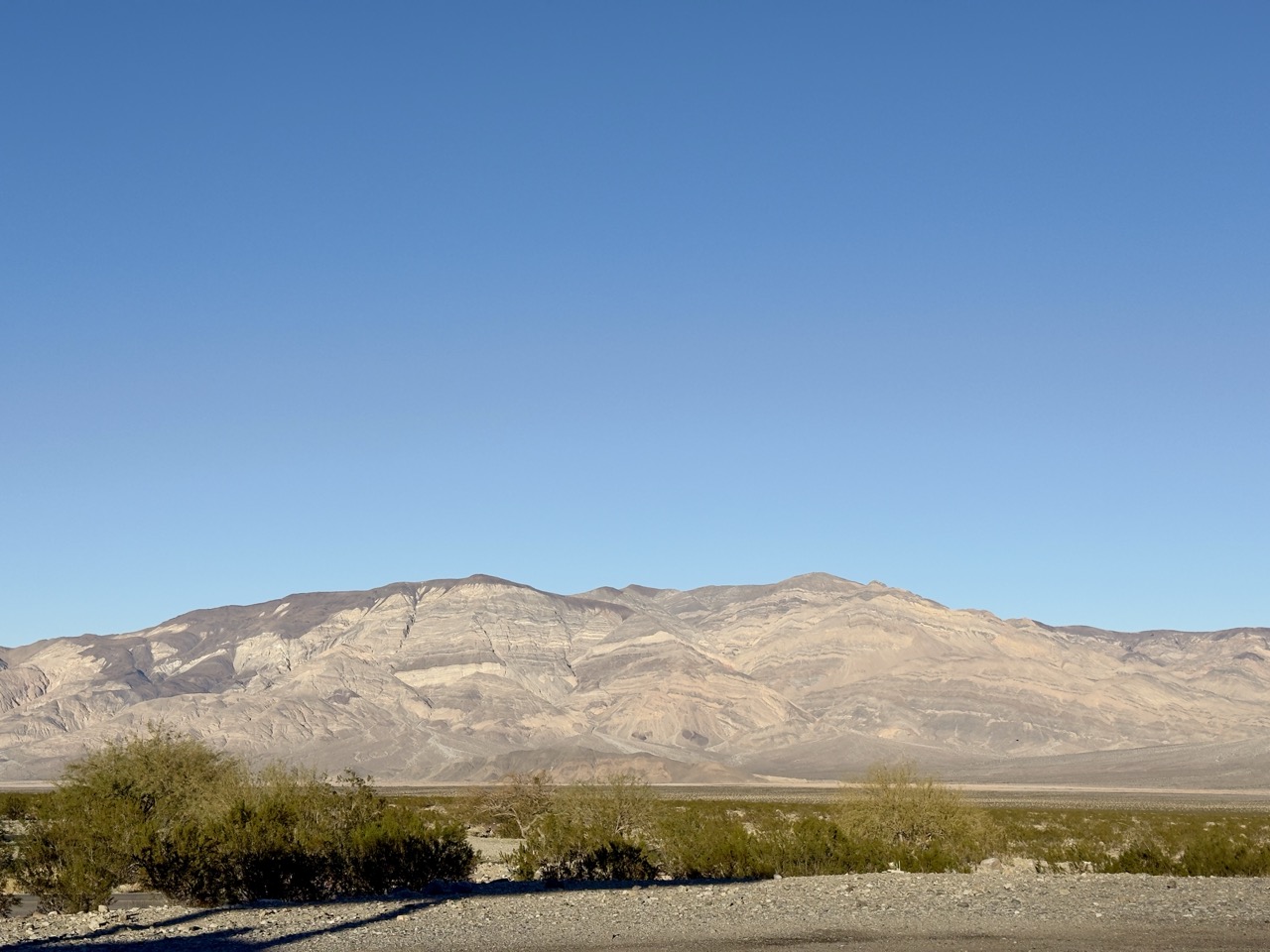
Looking south into Panamint Valley from near the South Pass of Saline Valley road.
11 / 22 view full size ↗ close
‹
›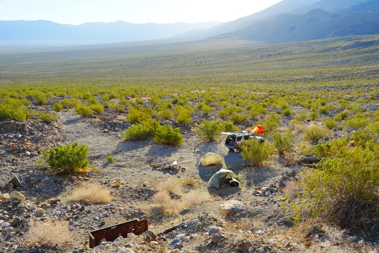
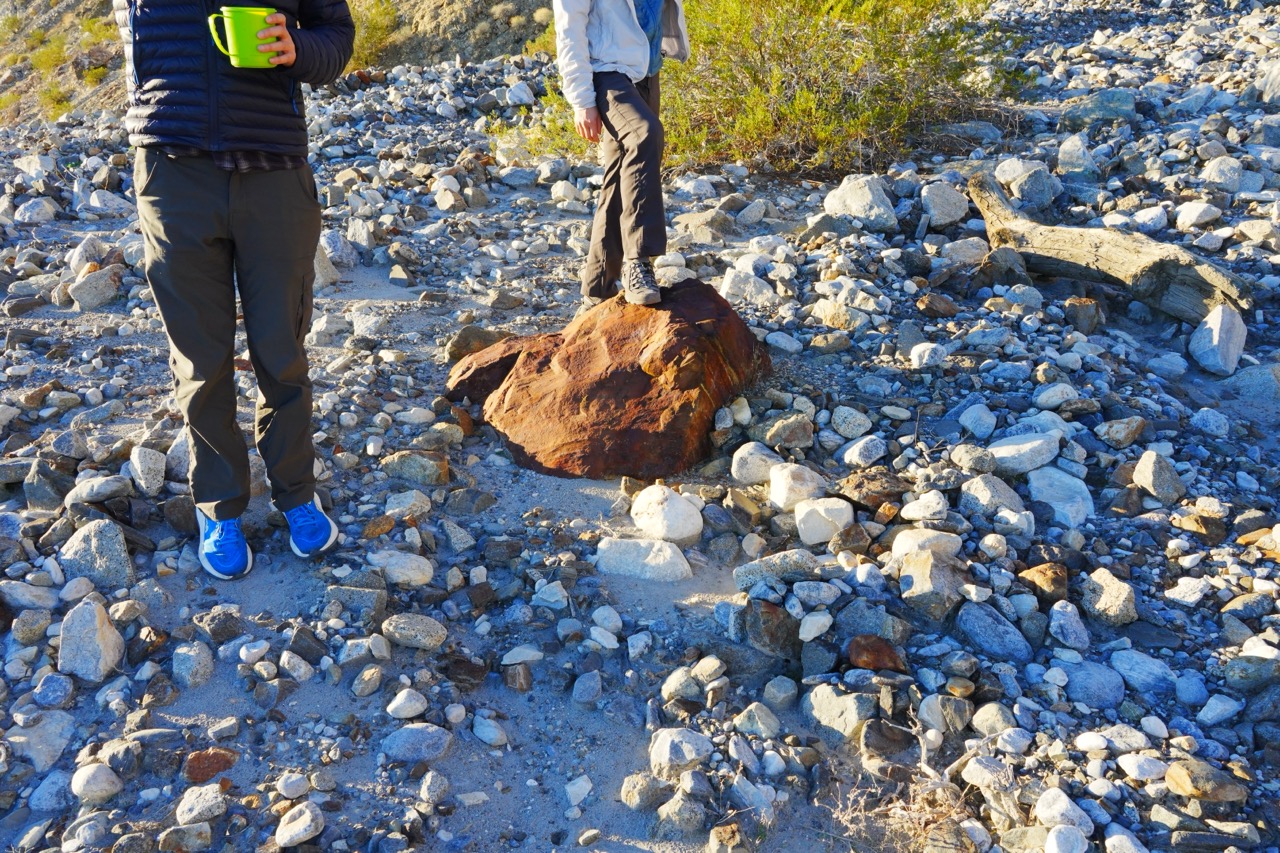
Our camp spot: Big Silver Mine, near the mouth of Craig Canyon in the Inyo Mountains.
13 / 22 view full size ↗ close
‹
›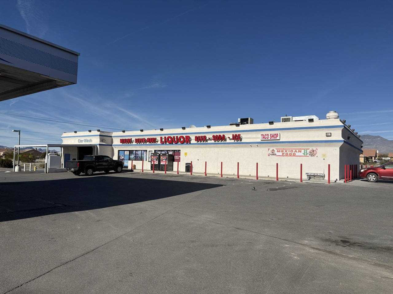
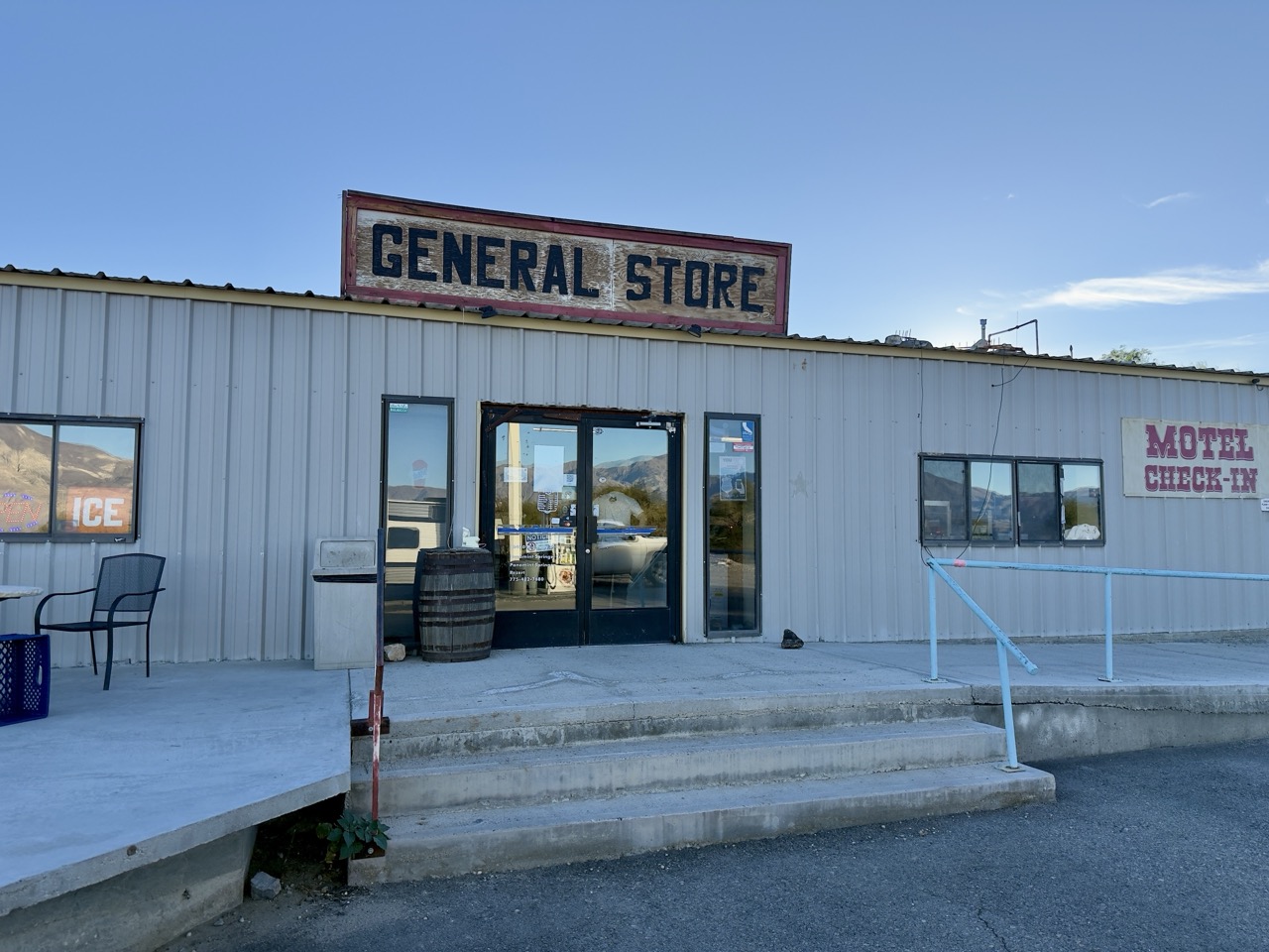
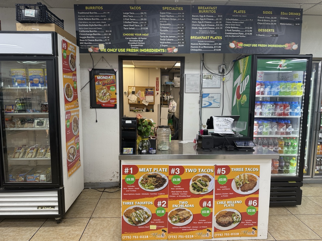
Believe it or not, this place has excellent chile rilleno burritos.
19 / 22 view full size ↗ close

jg
Want to keep up? Get updates by email or RSS →
comments
Have a comment? Leave one below, or email me about it. There is an rss feed for this thread.
leave a comment